Kurzbeschreibung
Man kann diese letzten Mauer-Reste der Ruine Luegg bei Semriach sicher als “Verschollene Burg” bezeichnen. Heute sind diese zwar frei zugänglich, liegen aber ohne deutlichen Weg und Hinweis im Wald verborgen. Obwohl gar nicht so früh erbaut (rund 1300) wurde sie 1621 bereits als “Alte Burg” bezeichnet, was jedoch nicht deren richtiger Name war. Allerdings ist auch “Burg Luegg” nicht die korrekte Benamsung. Man könnte als richtigen Namen eher “Schau-Ins-Land” ansetzen. Denn 1321 wird sie als “Castrum Luginslant” und 1373 als “Veste Luginsland” erwähnt. “Lug ins Land” (schau ins Land) ist auch eine alte Bezeichnung für einen Aussichtsturm oder Wachturm.
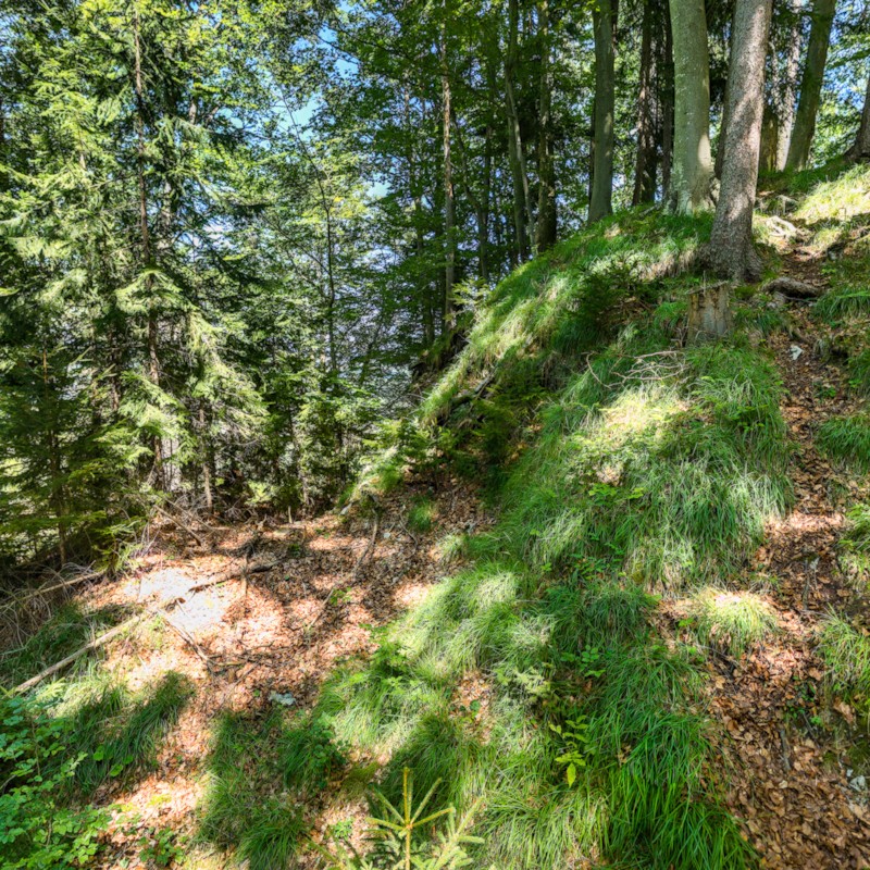
Die Rundtour gestaltet sich als Übung in Phantasie und Vorstellungsvermögen – so wenig ist vom Bauwerk heute erhalten. Als Hilfe wurden einige graphische Hilfsmittel in die Tour eingebaut.
Sieht man sich vor Ort um, erkennt man aber grob die Geometrie. Eine Ringmauer umgibt den Bergfried und vielleicht noch das eine oder andere kleine Gebäude. Drei Seiten der Ringmauer waren außen noch durch einen gut erkennbaren Graben geschützt.
Wikipedia
Auf Wikipedia liest sich die Bau-Beschreibung so:
Die erhaltene Bausubstanz ist so gering, dass Grundriss und Gestalt der Burg zum größten Teil nur vermutet werden können. Die Anlage wurde von einer längsrechteckigen, rund 1,4 Meter dicken Ringmauer umgeben, die im östlichen Teil direkt am Steilhang errichtet wurde. Von dieser Mauer sind heute noch ein rund vier Meter hohes Mauerstück im südöstlichen Teil der Anlage sowie einige Fundamentreste erhalten. An den weniger steilen Hängen im Norden, Süden und Westen war eine zusätzliche Wall-Graben-Anlage errichtet. Auf der Schulter des Walles war vermutlich eine Palisade. Der Zugang zur Burg erfolgte vermutlich aus westlicher Richtung.
Im südlichen Teil der Burg weist heute noch ein rund fünf Meter hohes und etwa einen Meter dickes Stück der nördlichen Wand auf einen annähernd quadratischen Bergfried hin. Dieser hatte ursprünglich vermutlich eine Seitenlänge von etwa acht Metern. Sowohl der Bergfried als auch die Ringmauer bestehen aus einem unregelmäßigen Bruchsteinmauerwerk, das auf eine Entstehungszeit am Übergang vom 13. zum 14. Jahrhundert hinweist. Der Bergfried hat horizontale Abgleichungen mit einer Lagenhöhe von 40 bis 50 Zentimeter. Im Nordwesten findet man Reste eines rechteckigen Gebäudes, das wahrscheinlich direkt an die Ringmauer angebaut war. Im Nordosten befindet sich eine Vertiefung, die auf eine ehemalige Zisterne hinweisen könnte.
Virtuelle Tour
VR-Brillen-fähig (z.B. Quest 3)
Zurück zur Übersicht

Geographische Lage
Weblinks
- https://de.wikipedia.org/wiki/Burg_Luegg_(Semriach)
- https://wehrbauten.at/stmk/steiermark.html?/stmk/luegg_s/luegg.html